
Sources for Maricopa County Neighbors
An immediate-block search answers a small set of public questions. It can show which parcel touches another, the assessor parcel number, the indexed owner, the situs address, and some public planning or historic-district context. It cannot produce a complete household roster. Each source below has a narrow role, and the access column states the main boundary.
| Source | What It Shows About a Block | Access |
|---|---|---|
| Assessor Parcel Viewer | Parcel shapes, adjacent APNs, and spatial relationships | Free public map; return to MCS for indexed owner data |
| Assessor MCS | APN, owner, situs, subdivision, MCR, S/T/R, property type | Free current roll; owner does not establish occupancy |
| County Treasurer | APN-linked tax account and status | Public portal; taxpayer evidence is not a resident roll |
| Historic-district inventory | Named district, boundary, designation date, period of significance | Public Phoenix planning resource, not a member list |
| Voter products | Only the fields and districts authorized for a qualified request | No verified public browse-by-block mode; protected voters omitted |
Five concepts must stay separate: situs address, legal description, indexed owner, tax mailing addressee, and occupant. A parcel record proves how the county indexes land and ownership. It does not prove who is inside the home on a given day. That line matters when the owner's correspondence goes to a post office box, another parcel, an entity, or an address outside Arizona.
- APN
- The assessor parcel number used to join the current roll, map, and tax account.
- Situs address
- The physical location assigned to the parcel, kept distinct from a mailing address.
- MCR
- A recorded map reference that links a subdivision parcel to its plat.
- S/T/R
- Section, township, and range, a land-location frame useful outside a typical subdivision.
Map Maricopa County Neighbor Parcels
The verified route begins in Assessor MCS. Search the target address, open the result, and keep its APN. Clicking the displayed Address launches the Parcel Viewer with that APN in the `esearch` parameter. With the target centered, inspect the parcel polygons beside it and across the street. Open each adjacent APN, then return to MCS for that parcel's indexed owner and physical address.
- Normalize the full street address and locate its current parcel record.
- Record the APN, subdivision or MCR, and situs address before opening the map.
- Inspect only the parcels that actually share an edge or face the target across the street.
- Open each APN in MCS and label the result as owner evidence, not occupant evidence.
- For every parcel along a named road, use the Maricopa County street directory workflow instead.
The Assessor's find-an-APN guide supports the first step:
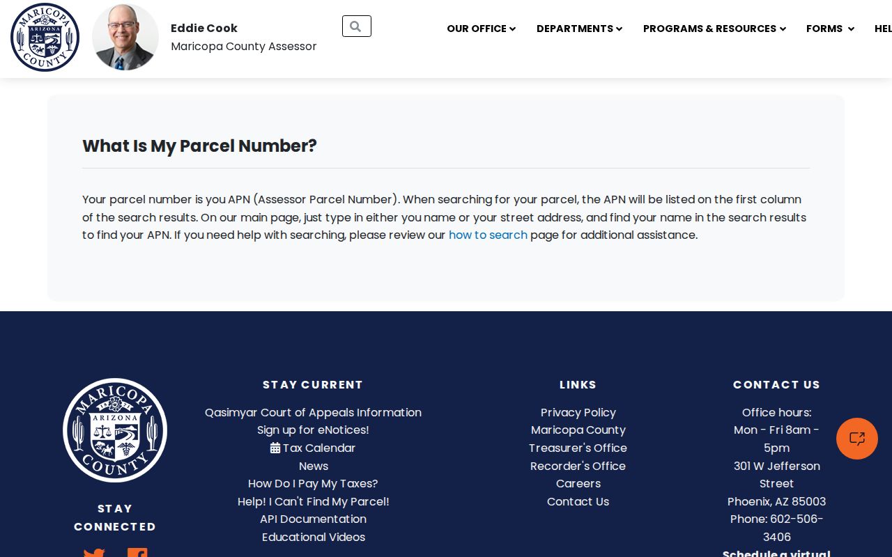
The APN prevents a similar street name or mailing address from pulling the block search onto the wrong parcel.
Maricopa County Neighbor Geometry
Map adjacency is geometric, not social. A polygon across an alley, wash, private drive, or common area may not be what a resident calls next door. The Parcel Viewer supplies the shape; local observation and public street layout explain the relationship. MCR and subdivision links help identify the recorded plat, while section-township-range fields support land outside a typical subdivision.
The Assessor search is also broader than one record family. A single query may return Real Property, Business Personal Property, Mobile Home, Rental Property, Subdivision, and Site Content groups. Classify the result before adding it to a Maricopa County neighbors list. The rental-registration group can show an owner, contact, agent, property, and a registration marker, but it does not name the people who occupy the address.
Note: A parcel across a shared open area may be close on the map while belonging to a different practical part of the block.
Check Maricopa County Tax Records
After the APN is known, the Maricopa County Treasurer portal adds parcel-tax account and status context. The correct sequence is Assessor address to APN, map to adjacent parcels, then Treasurer by APN. A taxpayer or mailing contact may be somewhere else, so the tax account should never be recast as proof that a person lives beside the target.
The official Treasurer screen is one of the successful neighbor-page captures:

Its value is corroboration of the parcel account. Occupancy still requires a different kind of evidence, and no complete public household source was verified.
Maricopa County Neighbor Data Scale
The Assessor says it annually administers more than 1.8 million real- and personal-property parcels or accounts with more than $1 trillion in full cash value. That scale explains why an exact APN matters. The MCS export also carries a 1,000-record maximum, but an immediate-block inquiry should stay far smaller and more precise than a mass extract.
The Assessor data-download page documents the broader public data channel:
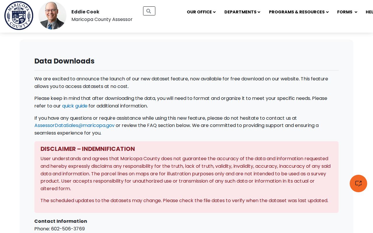
Downloads can support civic or land analysis, but an immediate neighbor check is more reliable when each selected parcel is opened and reviewed on its own.
Maricopa County Community Records
No authoritative open modern neighborhood member directory, congregation roster, or comprehensive association roster was verified. Public contact details for an organization are not permission to expose its members. The strongest documented community layer is Phoenix's official residential historic-district inventory. It lists 36 districts with maps, designation dates, boundaries, and periods of significance, including Alvarado, Ashland Place, Brentwood, and Campus Vista.
The Phoenix historic-district inventory shows the public boundary resource:
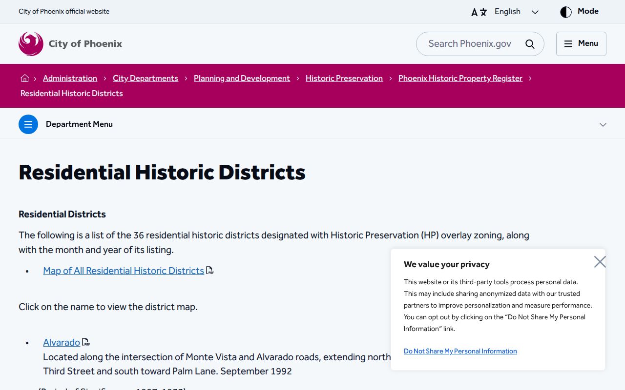
A district can explain the block's development era and shared public designation. It remains geography and history, not a list of current neighbors.
Phoenix Historic Preservation
District boundaries, maps, designation dates, and periods of significance.
Planning and Development
Public zoning, permit, and development routes keyed to place or address.
State Research Library
Historical directories, yearbooks, and organizational sources by appointment.
Maricopa County Planning Records
Phoenix Planning and Development links SHAPE PHX and My Community Map for zoning, permits, and development activity. Such records can date a project and associate a named applicant or owner with an address. They do not establish the full set of people living there. Postal Phoenix also may include a county island or another jurisdiction, so the street-centerline jurisdiction or county map should be checked before assuming the city keeps the record.
The Phoenix Planning and Development page provides the official public route:
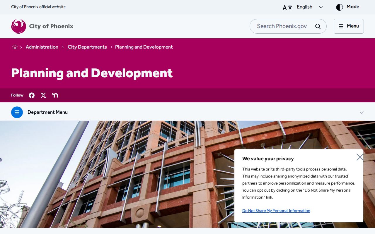
Planning evidence can explain change on a block. Reconcile a named project party with the Assessor and Recorder instead of treating the permit as a resident entry.
Voter Data Is No Neighbor Roll
The Arizona Voter Dashboard verifies a known person's own registration details. It is not an open browse-by-name or browse-by-block directory. The Recorder's written products have defined request fields and uses. VM51 can be bounded by legislative, congressional, supervisorial, precinct, or countywide districts, while the verified form did not offer a ZIP or block option. Individual history requests ask for full name, date of birth, and last known addresses.
Arizona law limits voter data to authorized political, election, campaign, and redistricting purposes and bars commercial use. Protected voters are omitted under A.R.S. § 16-153. Public products do not disclose full Social Security or driver-license numbers, and participation history never reveals ballot choices. The evidence therefore does not support a claim that nearby registered voters can be freely browsed as a block roster.
The current and legacy request materials also call for a stated product and bounded geography. VM51 status options include active, inactive, federal-only, or all, and its layout carries many district fields. VM55 is a voted-file accounting for selected elections. Neither converts election participation into a social relationship between people on nearby parcels. When the purpose does not meet the statute, use the parcel and public-community layers that are already open instead of trying to reconstruct restricted voter information.
Official Maricopa County Block Records
Commercial neighbor tools may merge public and purchased data, keep stale addresses, or join people with similar names. Official systems are narrower but clearer about what each field means. A block search should preserve that difference.
| Source type | Strength | Key limit |
|---|---|---|
| Parcel Viewer and MCS | Current mapped parcels, APNs, situs, indexed owners | Not a household roster |
| Treasurer account | APN-linked tax status | Tax contact does not establish residence |
| Planning or historic maps | Public block context and boundaries | No private membership data |
| Commercial compiled tool | May combine many sources | Can be stale, merged, or unsupported |
For a dispute or an important fact, return to the county office that owns the record. The official field and its stated limits carry more weight than a compiled inference.
Privacy for Maricopa County Neighbors
County property tools do not reveal children, roommates, other household members, private utility data, delivery accounts, or motor-vehicle records. Arizona's Address Confidentiality Program gives a substitute address to qualifying victims and eligible household members. Separate statutes restrict some assessor and recorder details for qualifying officials, peace officers, judges, prosecutors, and public defenders.
Public access does not permit threatening, tracking, intimidation, or repeated unwanted contact. Arizona stalking and harassment laws apply whether the first fact came from a map, a public record, or another source. The block method should serve genealogy, civic curiosity, reconnection, and personal safety awareness while leaving protected addresses protected.
Lawful use. Map parcels and public community facts with care. Never use Maricopa County neighbor records to watch, harass, intimidate, or harm anyone.