
Maricopa County ZIP Coverage Evidence
No verified source in the research produced one complete list of every delivery ZIP that intersects Maricopa County, including post-office-box and unique codes. An Assessor residential report is not that list. The safe Maricopa County ZIP code directory therefore treats a code as confirmed only after the county spatial layer and the postal assignment for a specific address agree. The table shows how each row of a final working inventory must be established, without inventing coverage or station names.
| ZIP Code | Areas Covered | Post Office | Notes |
|---|---|---|---|
| Code shown in the county ZIP layer | County intersection from Elections mapping | Verify for a specific address with USPS | Do not equate the postal city with city limits |
| Code in a parcel's situs address | Physical parcel location from the Assessor | Verify current delivery assignment | Owner mailing ZIP may differ |
| PO-box or unique code | Not established by the residential report | Confirm through USPS | Keep separate from street-delivery codes |
This evidence-first table is deliberately not labeled exhaustive. It prevents a partial residential dataset from becoming a false countywide claim. It also keeps ZIP, municipality, county intersection, postal station, and Census geography in separate fields.
Maricopa County ZIP Map Sources
The Maricopa County Elections map library is the local starting point for printable ZIP maps and an interactive address search. County spatial downloads are refreshed weekly. The county also warns that its maps are the best information available, not a survey or a tool for engineering or emergency response. Printed sheets are listed at $1 for 8.5 by 11 inches, $5 for 11 by 17, $15 for 36 by 48, and $25 for 54 by 70; custom mapping is $40 per hour plus print cost.
The official map page shows the geography used to begin a Maricopa County ZIP directory search:
A mapped boundary narrows the search area. It still needs an address-level postal check before a code is attached to a person or parcel.
Maricopa County ZIP Property Reports
The Assessor's annual reports page publishes single-family residential tables and maps by ZIP, including 2025 and 2026 material. Those reports can compare defined residential property groups. They exclude exempt property, new construction, alterations, and use changes, and the Assessor warns that sparse ZIP results may be unreliable. They are analytical reports, not a post-office inventory and not a roster of residents.
The report index is useful when a Maricopa County ZIP inventory needs property context:
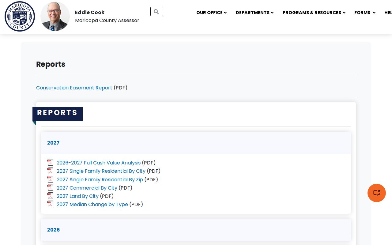
Use a report's scope notes with every figure. Never treat its rows as proof that no other delivery code serves the county.
Note: A residential-by-ZIP report omits whole classes of addresses, so its absence of a code does not establish postal nonexistence.
Maricopa County ZIP Address Matching
The Assessor map's address-search help documents a precise local input method. Enter the house number and street name, then add direction, street type, and ZIP when known. Its sample pattern places all parts in one line. Suggestions display only ten matches even if more exist, so a short or vague street phrase can hide the correct result. Add the directional letter and road type before concluding that an address is absent.
Intersection searches work differently. They require at least one street type and use an ampersand or the word AND between the two roads. Once the map resolves the point, read jurisdiction and parcel context instead of treating the geocoder as a resident list. The control finds and zooms to a place. It does not certify the postal assignment, list all properties sharing that ZIP, or prove that a named owner occupies the parcel.
Phoenix's grid makes those details important. North-south numbered roads are usually Streets east of Central Avenue and Avenues west of it, with Place, Way, Terrace, and Run on the east side and Drive, Lane, Glen, and Dale farther west. Entering only a number drops the very suffix that distinguishes opposite sides of the city.
Search Maricopa County by ZIP
Finding residents within one likely postal area takes several checks. The Maricopa County Assessor search can return parcel records with situs city and situs ZIP, but the verified research did not establish a dependable portal control that produces every parcel in a ZIP. The county geocoder accepts a number and street name with optional direction, street type, and ZIP. That is an address match and map zoom, not proof of a complete ZIP-wide result set.
- Start with the Elections ZIP layer and identify a candidate code at the target area.
- Confirm the current postal assignment for the exact street address through the official USPS lookup.
- Search the address in Assessor MCS, then preserve the APN, situs address, subdivision, MCR, and property type.
- Compare the map jurisdiction with the postal city. Move to the Maricopa County street directory only after the ZIP has narrowed the area to a named street.
The APN, or assessor parcel number, is the stable bridge to the Parcel Viewer and land records. An owner name is not proof of occupancy. A situs ZIP locates the physical parcel, while an owner mailing ZIP is only a correspondence address.
| Verified Assessor field | Use in a ZIP search |
|---|---|
| Search parcels and addresses | Enter a full address; queries of two or fewer characters are refused |
| Address / SitusZip | Read the physical parcel's listed ZIP separately from ownership |
| APN | Open parcel detail and the map without relying on postal wording |
| Subdivision, MCR, S/T/R | Carry durable land references into local geography checks |
ZIP Codes Meet Maricopa Jurisdictions
Phoenix publishes a street-centerline service that is updated monthly. Its fields include street prefix, name, type, suffix, left and right address ranges, street class, and jurisdiction. The jurisdiction values distinguish Phoenix, private streets, Maricopa County, and other authorities. That field helps expose county islands and streets where a familiar postal name does not identify the government that keeps a permit or landbase record.
The service page supplies a local jurisdiction check for the county ZIP search:
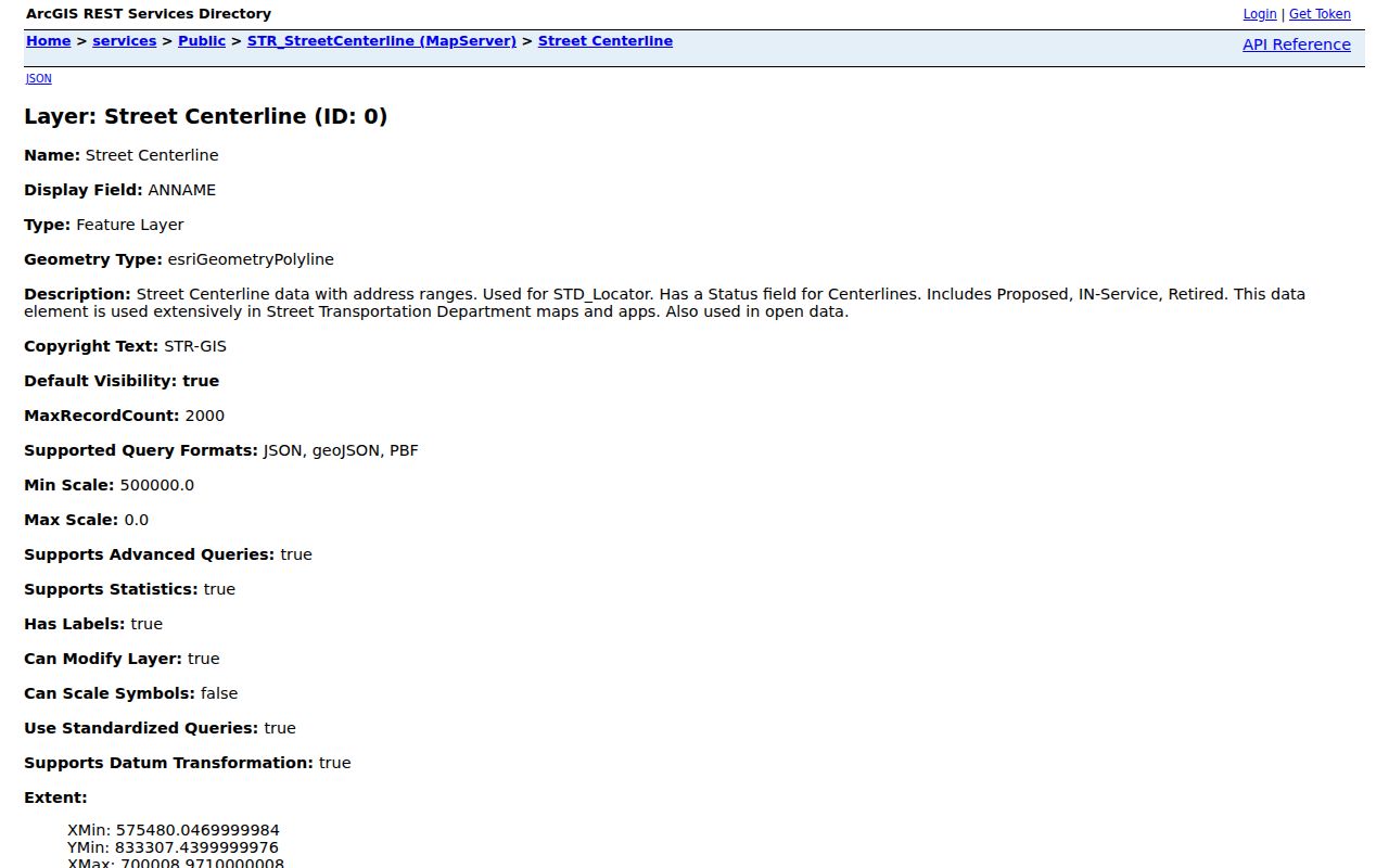
The result directs a search to the right city or county office. Postal geography alone cannot do that work.
Maricopa ZIP Codes Are Not ZCTAs
The Census Bureau's ZCTA guidance describes ZIP Code Tabulation Areas as generalized statistical representations. A ZCTA supports population and demographic tables, but it does not reproduce a live USPS delivery route. American Community Survey ZCTA data begins with the 2011 five-year release. A demographic total for a ZCTA should not be labeled as the population of a precise postal route.
The federal guidance makes the statistical boundary clear:
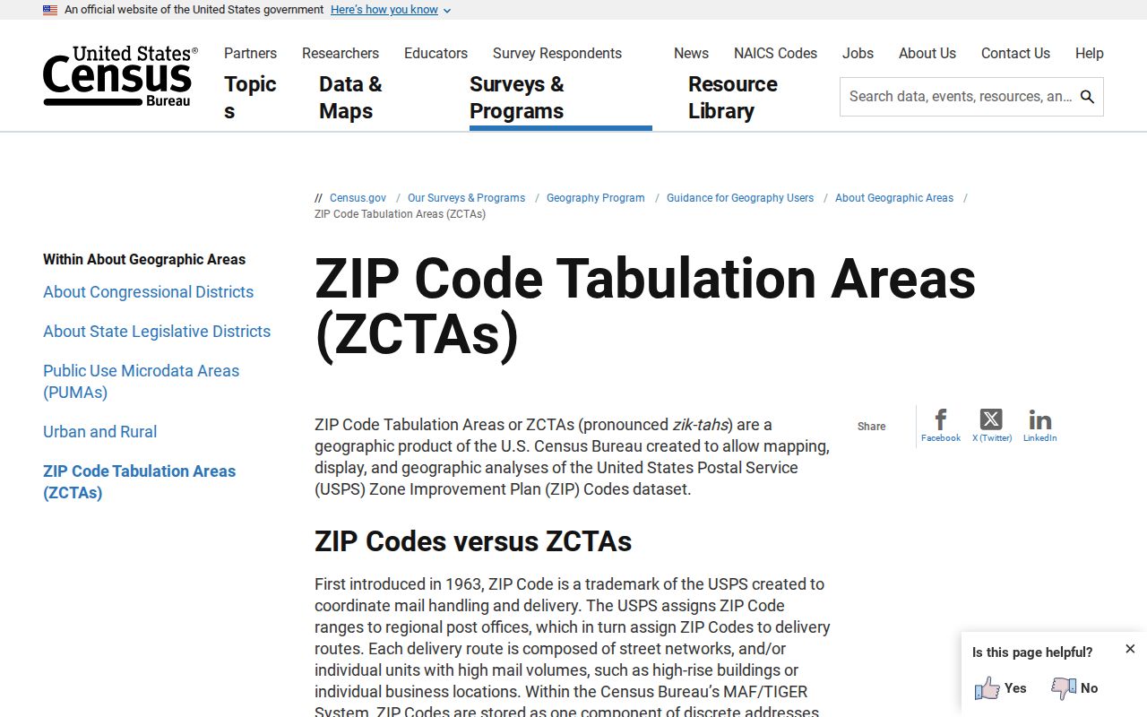
This is the key geography myth to avoid. A ZIP, a ZCTA, an incorporated city, and Maricopa County are four distinct frames.
- ZIP
- A current postal delivery assignment administered by USPS, not a unit of local government.
- ZIP+4
- An added four digits that narrow delivery within a ZIP, often to a block, building, or route segment.
- PO-box ZIP
- A code used for post-office boxes rather than ordinary street delivery.
- Unique ZIP
- A code assigned to one high-volume organization or destination.
- Carrier route
- A postal delivery path inside a ZIP, which may not follow neighborhood or civic lines.
Maricopa County ZIP MapID Geography
The Assessor's MapID help explains a land index based on township, range, section, quarter, and quarter-quarter. Its example, 807-18-04-00, identifies Township 3 North, Range 4 East, Section 18, and the southeast quarter, with no separate quarter-quarter map. This land frame has a different purpose from postal routing, but it can preserve a parcel's location when ZIP labels or street terms cause doubt.
The MapID reference shows the nonpostal index used beside the Maricopa County ZIP directory:
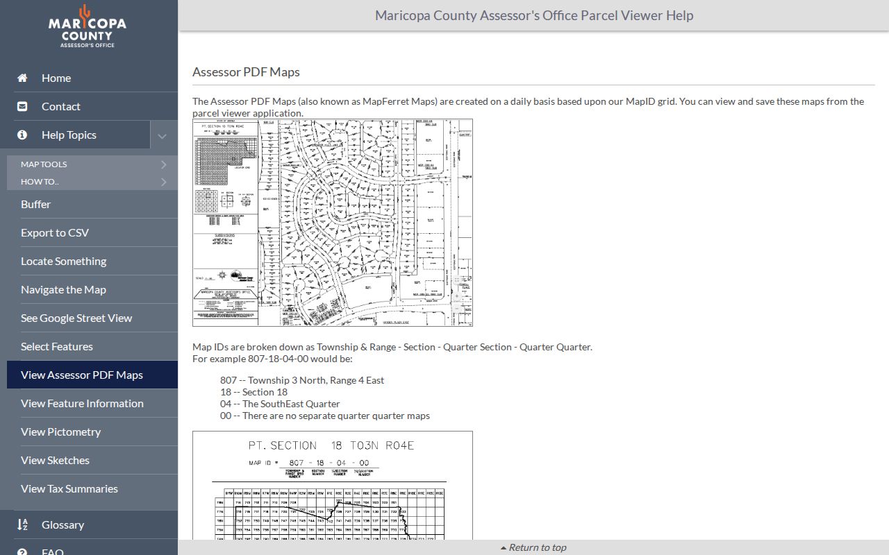
Use MapID and the APN to keep the parcel fixed while checking the current delivery code independently.
Maricopa ZIP and City Boundaries
A Phoenix postal city does not prove that an address sits inside incorporated Phoenix. County islands and nearby jurisdictions can share the same mailing geography, and a ZIP can cross civic or county lines. For land questions, the situs address identifies the physical parcel and the legal description controls title. Permits and geocoders key to situs, tax notices may go to a different mailing address, and recorded deeds use parcel or legal descriptions.
Phoenix addressing adds another local trap. Central Avenue and Washington Street form the historic origin. Numbered roads use Streets east of Central and Avenues west, with other suffix families farther out. A bare number is ambiguous because 7th Street and 7th Avenue lie on opposite sides. Replats and changed street names also complicate old records. The ZIP code directory should narrow geography, not replace a complete address.
Historical research needs one more check. A reverse directory keys people to the street form used in its own year, while a current ZIP code belongs to today's delivery system. First normalize the old street name and number through plats, landbase records, or period maps. Then connect the old location to the present parcel through its legal description. Only after that bridge is secure should a current postal label be added. This sequence prevents a modern code from being projected backward onto an address that had different wording or sat outside the later city footprint.
Boundary check. Confirm the postal code for delivery, the map jurisdiction for government records, and the APN for the parcel before joining names to an address.