
Maricopa Previous-Resident Sources
Each layer covers a different era and fact. Start with the source closest to the date in question, then work outward. The county’s current roll supplies the bridge to the past, while recorded deeds identify title events. Directories and census schedules are the stronger household sources. Maps and permits describe the building and street context.
| Source | Years it covers | Where held | What it shows |
|---|---|---|---|
| Assessor current roll | Current online record | Maricopa County Assessor MCS | Present APN, indexed owner, situs, and land references |
| Recorder deed index | Online cutoff not verified | Maricopa County Recorder | Grantors, grantees, instruments, and title sequence |
| Phoenix city directories | Verified examples from 1898 through 1955; wider digital corpus through 1989 | Arizona Memory Project and State Research Library | Listed people, addresses, occupations, and some street-order entries |
| Federal census | Public schedules through 1950 under the 72-year rule | National Archives and research libraries | Enumerated households and relationships at the census date |
| Phoenix Sanborn maps | Verified 1889, 1890, 1893, 1901, and 1915-1949 sets | Library of Congress | Building footprints, materials, and block context, not occupant names |
| Phoenix permits | Coverage start not verified | Phoenix Planning and Development | Work or project evidence tied to an address |
For a recent title question, begin with the Assessor and Recorder. For a mid-century household, move quickly to the reverse and resident sections of a directory. For a building that predates surviving directory coverage, combine the deed chain with maps and the nearest open census.
Anchor Maricopa Past Residents
Search the modern address in the Maricopa County Assessor MCS. Save the APN, current indexed owner, situs address, subdivision, MCR, section-township-range, and property type. The APN is the county parcel key. MCR and subdivision point toward a recorded map, while section-township-range can carry the trail across rural or unsubdivided land.
This first step is not a claim about occupancy. The Assessor distinguishes physical situs from ownership, and a mailing address may belong to an out-of-area owner, a post-office box, or an entity. A rental-registration result may add an owner, contact, and agent. It does not name the renter. Preserving those distinctions keeps a search for previous residents from turning a current property record into unsupported household history.
- Grantor
- The party transferring an interest in a recorded deed.
- Grantee
- The party receiving the interest recorded in that deed.
- Chain of title
- The linked sequence of transfers affecting the same property.
- Legal description
- The land description based on lots, plats, subdivisions, or survey references rather than postal wording.
Trace Maricopa Owners Backward
The Maricopa County Recorder document search supplies the grantor-grantee trail. Begin with the current indexed owner from the Assessor. Find that party’s acquisition deed, then compare its legal description with the target parcel. Record the instrument data before moving backward.
- Copy the APN, present owner, and full legal or plat reference from the Assessor record.
- Locate the present owner as grantee on an acquisition deed. Save the recording number, date, instrument type, grantor, grantee, and legal description.
- Search that grantor as an earlier grantee. Accept the match only when the same land description or recorded-map trail continues.
- Repeat the seller-to-earlier-grantee sequence. Note ownership gaps, name variants, entity names, and transfers that may not be ordinary sales.
- When online access ends, request older grantor and grantee indexes or deed books from the Recorder. Do not assume an unverified cutoff year.
Deeds identify owners and title events. They do not list every person who lived on the property. Likewise, a seller’s later acquisition may suggest another property linked to that person, but it cannot prove that the person moved there.
Note: Match the legal description at every transfer because a familiar surname or nearby street address can lead into the wrong title chain.
When Maricopa Deed Search Stops
The Recorder portal’s exact online start date, full document-code list, image access, and current copy charges were not verified. That gap should shape the method. When the index blocks access or an older transfer does not appear, use the official Recorder request channels. Name the record series and a narrow date range. Include parties, recording numbers, APN, subdivision or MCR, and legal description when known.
A request for “everything about this house” is hard to route. A request for a particular grantor index range or recorded deed is clearer. Arizona Public Records Law allows any person to inspect records in a custodian’s care during office hours and requires copies to be furnished promptly, including by mail when the record is not already online. Inspection is free, while noncommercial copy charges may not exceed reproduction cost.
Older deed books may prove a title line while still leaving the household unknown. That is the point to shift from ownership evidence to directories and census schedules, not to fill the blank with an assumption.
Old Maricopa Addresses Change
A modern postal address is fragile over a long house history. Phoenix began with a 96-block townsite. Washington served as the broad main street, and north-south streets originally bore names before later becoming numbers. Center Street had become Central Avenue by 1873. Replats, re-subdivisions, and name changes can break a literal address search even when the land stayed in place.
Phoenix’s grid also splits Streets east of Central Avenue from Avenues west of it. A bare “7th” is not enough. Westward and eastward suffix families add more chances for error. When a previous-resident search crosses eras, compare direction, suffix, cross street, subdivision, lot, and block. The county’s current street-centerline service can help identify jurisdiction, but it should not be projected backward without a period source.
Insider tip. The APN and legal description can reconnect a parcel after postal wording changes, while a period directory or map supplies the address used at that time.
Maricopa Previous Residents by Year
The 1955 Phoenix Mullin-Kille directory is especially useful because its Householders’ Directory and Street Telephone Guide arranges householders by street address. It notes home ownership and telephone information. Its separate resident section can show the individual, spouse, dependents under 18, position, employer, home address, and accessible phone. These are publisher fields from a canvassed snapshot, not a deed or census.
- Find the address in the street-order section for the closest available year. Copy the listed householder and every printed symbol exactly.
- Move to the alphabetical resident section. Expand initials and compare spouse, work, address, and telephone details.
- Check the volume before and after. A first appearance or disappearance narrows a move window but does not prove the exact date.
- Compare the nearest open federal census. Keep its enumeration date in mind and confirm the street, house number, household, and relationships.
- Return to deeds and probate for title or estate facts. Let each source retain its own date and claim.
Arizona Memory Project’s digital directory corpus covers Arizona from 1881 through 1989, while the State Research Library says additional years and cities exist in print. The collections themselves, publishers, and entry keys are treated in depth on the Maricopa County city directories page. Here, they serve as time-stamped bridges between title eras and census years.
Map Maricopa House History
Sanborn fire-insurance sheets put buildings around names. The Library of Congress has verified Phoenix sets for January 1889, November 1890, June 1893, July 1901, and an updated 1915 through November 1949 Volume 1. They can show a footprint, construction material, outbuilding, lot arrangement, and block setting. They do not identify previous residents.
The Phoenix Sanborn gallery is the official source for the 1915-1949 sheets, though its assigned manifest capture failed and therefore is not reproduced here. Match the historical block and street wording carefully. The research did not complete an exhaustive catalog pass for every later Phoenix volume or every other Maricopa County municipality.
Phoenix permits add a newer layer through SHAPE PHX. A project file may date construction or alteration and may associate a named applicant with the work. It dates the work, not the household. When the site lies outside Phoenix, first resolve the city or county jurisdiction so the request reaches the right permit custodian.
Note: Maps and permits explain when a building changed, but only household sources can support who lived there during that change.
Maricopa Records Begin Locally
Maricopa County was created from Yavapai County in 1871 and later gave land toward Pinal and Gila Counties. That changing geography matters for very early parcels near old boundaries. Phoenix’s official history says the first county election took place in 1871, the same year townsite commissioners worked with Hancock’s survey of the first town blocks.
The official Phoenix history provides the local setting for street and townsite changes.
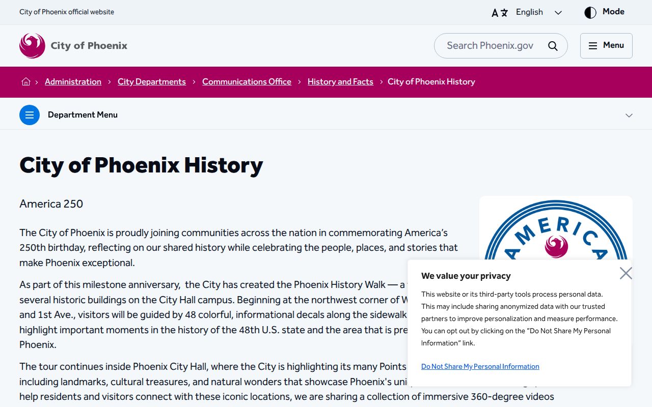
The capture supports the townsite and naming context that can reconcile an early address. It does not replace a deed, directory, or census entry for a specific household.
The earliest city directory verified in the research is the 1898 Cox & Fleming Phoenix directory, followed by additional runs through the twentieth century. No courthouse fire, flood loss, Recorder imaging cutover, or countywide reconstruction event was verified. A gap in the trail should therefore be reported as a gap, not explained with a dramatic but unsupported loss story.
Close Maricopa Resident Trails
Obituaries and probate can close a trail after a named person disappears from an address. Search the Maricopa County Superior Court docket for probate matters tied to the person, then obtain the public file from the Clerk when needed. Probate may identify heirs, a personal representative, estate property, or filings that distinguish two people with the same name. It does not prove that every listed relative lived at the house.
Newspapers began early in Phoenix. The Salt River Valley Herald became the Phoenix Herald in 1880, making local notices and obituaries a useful companion source where a digitized or archived issue survives. Cemetery records may add dates, while vital records have their own access limits. Historical birth images become public after 75 years and death images after 50 years under Arizona law; current certified copies remain limited to eligible applicants.
Triangulation is the safest end point for previous residents. A directory entry can place a name at the address in one publication year. A census can show an enumerated household on one date. A deed can connect an owner to the parcel, and probate can explain a transfer after death. Together they can support a careful account of previous residents without making one record claim more than it actually shows.
Lawful use. Research past Maricopa County residents for house history, genealogy, heir matters, and personal curiosity. Do not use address trails to track, threaten, harass, or defeat protections for any living person.